


Map Tree Frog
Boana geographica
- KingdomAnimalia (Animals)
- PhylumChordata (Cordats)
- ClassAmphibia (Amfibis)
- OrderAnura (Anurs)
- FamilyHylidae (Hylid Tree Frogs)
- GenusBoana (Gladiator Tree Frogs)
- SpeciesBoana geographica (Map Tree Frog)
The map tree frog (Boana geographica) is a species of frog in the family Hylidae found in Bolivia, Brazil, Colombia, Ecuador, French Guiana, Guyana, Peru, Suriname, Trinidad and Tobago, and Venezuela. Its natural habitats are subtropical or tropical dry forests, subtropical or tropical moist lowland forests, moist savanna, subtropical or tropical seasonally wet or flooded lowland grassland, rivers, freshwater lakes, intermittent freshwater lakes, freshwater marshes, plantations, rural gardens, heavily degraded former forests, ponds, and aquaculture ponds. It was previously known as Hyla geographica. The name comes from the reticulated map-like patterns on its eyelids (palpebrum). The black tadpoles congregate in dense clusters in ponds or other calm waters. Wikipedia →
20–30% of wildlife watchers report a Map Tree Frog sighting in Tambopata National Reserve, based on 48 days of visitor records from GBIF citizen-science data.
Closest Relatives at Tambopata National Reserve

Rocket Tree Frog
Boana lanciformis

Rusty Tree Frog
Boana boans

Sara Tree Frog
Boana steinbachi

Rough-skinned Green Tree Frog
Boana cinerascens

Polka-dot Tree Frog
Boana punctata

Convict Tree Frog
Boana calcarata

Giant Broad-headed Treefrog
Osteocephalus taurinus
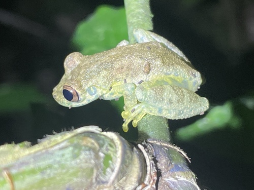
Puerto Maldonado Snouted Tree Frog
Scinax ictericus

Inotawa Tree Frog
Dendropsophus kamagarini
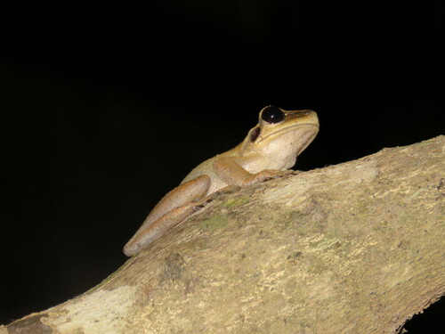
Bolivian Spiny-backed Frog
Osteocephalus castaneicola

Red Snouted Tree Frog
Scinax ruber

Red-skirted Tree Frog
Dendropsophus rhodopeplus
📅 Monthly Probability
🌙 When They're Spotted
Most active during nighttime hours (6pm–6am) · across all parks (global)
Global Distribution
Where this species is recorded worldwide. Restricted to human observations from 2019 onwards — the same kind of record and the same period the probabilities on this page are built from, so collar-tracking studies, camera-trap arrays and museum specimens are excluded. Around Santa Rosa that removes 5,924 GPS fixes from a handful of tagged jaguars.
where this species is recorded (GBIF density — it tracks where observers go, not how likely a sighting is) · parks where it occurs — tap a pin for the sighting probability there
Parks Where Found
| # | Park | Country | Probability |
|---|---|---|---|
| 1 | Manu National Park | 🇵🇪 Peru | |
| 2 | Tambopata National Reserve | 🇵🇪 Peru | |
| 3 | Brownsberg Nature Park | 🇸🇷 Suriname | |
| 4 | Madidi National Park | 🇧🇴 Bolivia | |
| 5 | Yasuní National Park | 🇪🇨 Ecuador | |
| 6 | Cuyabeno Wildlife Reserve | 🇪🇨 Ecuador |
Quick answers
What are the chances of seeing a Map Tree Frog in Tambopata National Reserve?
About 22% of wildlife watchers report a Map Tree Frog sighting in Tambopata National Reserve, based on 48 days of visitor records from GBIF citizen-science data.
When is the best time to see Map Tree Frog in Tambopata National Reserve?
July has the highest sighting rate for Map Tree Frog in Tambopata National Reserve in our monthly data.